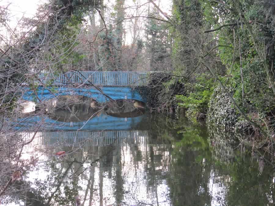
This 4 mile walk circles the town of Clare taking in the Common, which is the site of the fledgling village some 1000 years ago. The route can be followed on Ordnance Survey Explorer Map 210 Newmarket & Haverhill.
Park in Clare Castle Country Park. Additional (free) parking can be found next to Clare Recreation Ground off the Long Melford road. If you are not familiar with the area there are several places of interest which may entice you to stay a while. These include Clare Castle with its minimal remains, the old railway station and cafe, the Ancient House Museum (open most days apart from Sundays and Bank Holidays on variable hours), Clare Priory and antiques and tea shops.

Having parked, walk towards the river and turn right over the bridge that used to carry the Haverhill to Sudbury railway. This is waymarked Stour Valley Path. Once across turn sharp left to accompany the river down stream. You will soon know if you are walking in the correct direction because you will go through a gate and after a while cross a weir and stile. Continue along the left field edge until you reach a tall narrow kissing gate by a red brick building. Go through, and cross the water course that used to power the mill until it burnt down several years ago. Continue uphill in front of Mill House, cross a bridge over the dismantled railway and turn left at the Bailey Lane sign. Follow the path as it forks left down to the remains of the railway line. Cross another water channel and turn right along a tree lined avenue. At the Stour Valley Path interpretation board sign turn right. This path will take you to the road. Cross (right and left) and walk alongside Clare playing field. You are now on the Clare circular walk and the Stour Valley Way, a long-distance footpath – running some 60 miles from Newmarket clock tower to the sea at Manningtree. Continue on this hard surface path past several buildings. Shortly after passing a long low building on your left the track will end and you continue ahead through a copse and then along the edge of a field. In the field corner go through a gap in the hedge (waymarked), keep right of the first barn and then turn left in front of the black barns. Follow the farm drive out to the main road, via Hermitage Meadow.

Turn left at the road and use the pavement for a short distance until you spot a footpath on the opposite side of the road next to a litter bin. Take the sunken lane and climb steadily uphill. Pass and ignore the first entry to the Common on the left but take the second. Go through the paired gates and head towards the church. This area is the site of Erbury, where the town of Clare was born some 1000 years ago. There used to be information boards giving details of a 13th Century Manor belonging to the de Clare family and two Pest Houses built later for unfortunates suffering from Smallpox and other infectious diseases. One of these buildings survived until 1960. Perhaps the boards will be replaced. Continue in the same direction but you may need to head uphill for a few steps before you can cross the impressive ditch ahead. Continue right of the water trough (there could be cattle grazing in the area as has been the case since Katherine of Aragon bequeathed the land as common pasture) then right of a lone tree to find a kissing gate in the fence at the far side. Take this path, at first between fences, to pass the school and then the cemetery. Rather than go through a gap in the hedge ahead by a dog bin, turn right and head uphill between hedges. This leads to the Nuttery a restored area of many young trees, a large pond and two picnic area glades. Stay with the left-hand path and exit across a wooden footbridge. Stay with the hedge on the left downhill and where that ends continue ahead to reach a cross path. Turn right to reach a barrier and dog bin. Turn left and drop to the road. Cross this, left and right, to take Ashen road. After crossing the river bridge, and having moved from Suffolk to Essex, turn left to accompany the river back to the car park.
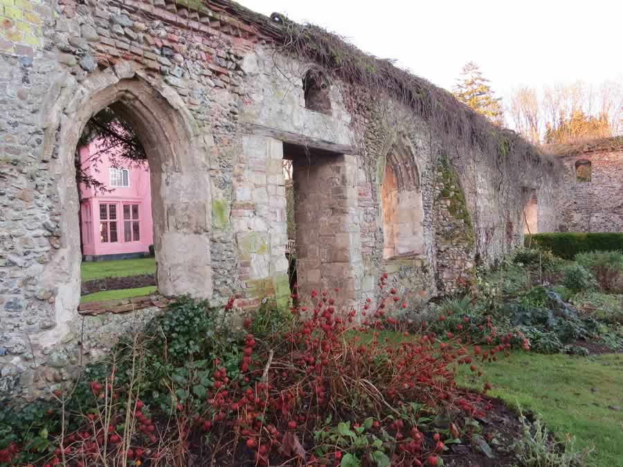
If you wish to visit Clare Priory continue along the Ashen Road for a further 200 paces and turn left in the main entrance. Visitors are always welcome to the grounds, church and ruins. Veer left to follow the drive towards the main house and then right through pillars towards the church with its modern addition. Turn left in front of the church and to find the cloister and church remains go left through the second arch in the old wall, then right. Return to the path and stay with the wall on the left. Go through a heavy door and veer right to return to the car park.
Clare Priory is the first house of the Augustinian Friars in England and was given approval in 1248. Following its suppression in 1538 the house passed through many hands and had many uses until purchased in 1953 by the Augustinian Friars who returned to their origins.
Walked December 2024
This series of walks have been put together by Roger Medley.
If any of the walking notes are confusing or inaccurate or the information is wrong, please contact Roger on 01440 820551. If they are helpful, or if you have any other comments, likewise.
Coming Soon to a Fingerpost near you
Suffolk County Council has received funding for a county wide initiative to encourage more people to explore the local area. A field officer has been appointed and volunteers have been recruited to attach plaques to fingerposts in individual parishes. Each plaque (see diagram) displays an app. which can be downloaded to modern Apple and android phones. This will display the local section of the Ordnance Survey map showing footpaths and recognised walking, cycling and riding trails. The information can be stored if walkers are visiting an area where there is limited phone cover. Plaques have been added to 44 stable fingerposts in Wickhambrook and where fingerposts are missing or unstable these have been reported. There are 18 of these and they will be replaced complete with plaques. Wickhambrook is one of the first parishes in the County to complete this task.
W.I.Walking Group
The Wickhambrook W.I. Walking Group meets every Wednesday morning at 10am starting from the MSC car park for walks in the village or slightly further afield. We walk for about two hours and cover about five miles, depending on how much chatting is taking place. There are usually six of us, although we have had a dozen occasionally, dogs are welcome too.
