The Hawkedon website states ‘Hawkedon is one of the strangest places in Suffolk. There’s nowhere else quite like it. Here, in the rolling landscape between Haverhill and Bury, is where the Chiltern Hills come to die. On their journey through Bedfordshire and Essex they become lower and softer, with the occasional last stabs of glory before sinking beneath the Suffolk heathlands. Rede, the next parish, is the highest point in East Anglia’. True or not this five mile circuit is quite hilly and this adds to its attraction. Take a copy of the Ordnance Survey 210 Explorer map as your companion.
Park on the green below the village church but please avoid the area in front of the seat and the ‘No Vehicles’ sign. The church is often open and contains a gallery and carved poppyheads. Walk uphill with the church on your left soon joining the road and passing the Queens Head. Take the minor road (Cresslands Lane) on the left. This soon becomes a vehicle track (restricted byway) which twists and turns for some way. There are good views of Hawkedon Hall to the right. Eventually you will go through a gate beside a cattle grid (there was a nut and bolt on the latch when we went through) and then to a second cattle grid, this time forming part of the track. Do not cross this but veer left and go through a five-bar gate on the left (the waymark was missing in May 2017). Walk across this meadow with a barbed wire fence and a reservoir on the right, heading for a narrow metal gate in the far fence. Use this and stay with the left-hand ditch, and hedge in places, as it climbs gently uphill. Soon after the start of a row of mature trees on the left you will find a culvert, and a hidden post and waymark, indicating a path heading diagonally across a small field heading to the right of some tall poplars. In the far corner follow a short path through a wooded patch, there are buildings on the left, to find another cross-field path passing close to a solitary electricity pole. This leads to a gap in the far hedge. On reaching a concrete road turn left, almost back on yourself. This road soon turns left towards buildings (Gatesbury’s Farm) but you must go straight ahead following a vehicle track to skirt two sides of a small wood on the left. The track veers right (waymark) and soon leaves the wood to head gently downhill between two large arable fields. On reaching the field corner you will find a gate and stile in the hedge. Climb the latter to find a series of lakes.

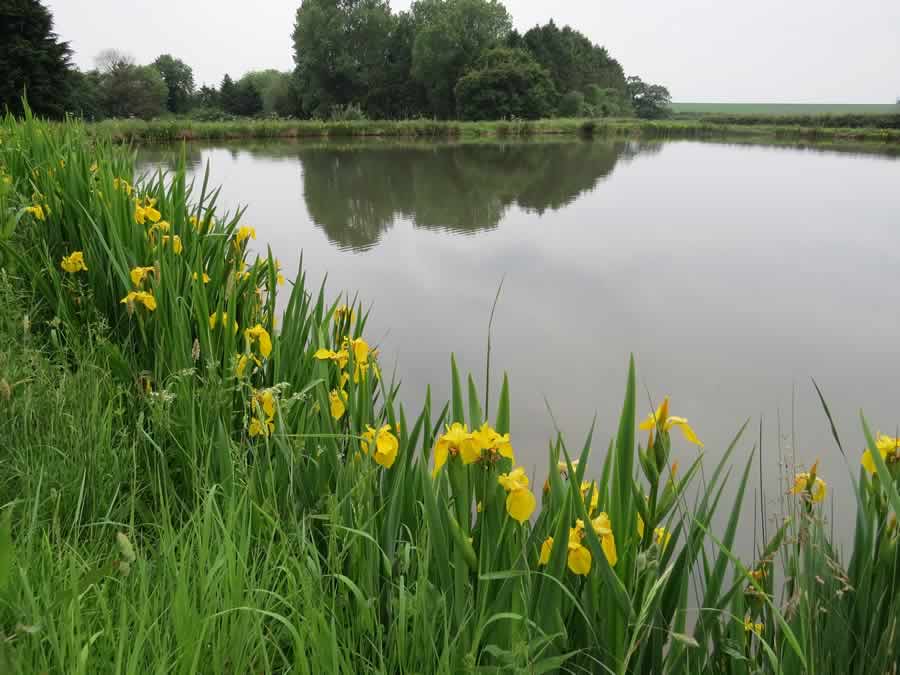
Follow the waymarks to the left to pass down the eastern side of the water. You will see a memorial to Jo and Joan Slater who ‘built these lakes for the enjoyment of family and friends’.
At the last of these lakes, climb the retaining bank (there is a waymark hidden behind a large fir tree) and skirt to the right round the lower bank to reach a corner where you must turn left through trees. You quickly reach a track junction where you must turn left again. Enter a rough meadow and stick to the right-hand edge with the wood on your right. A post and rope fence is in place over the first section. Climb until you reach the top to find a gap in the hedge which you pass through to reach a vehicle track. Turn left and follow this track until you pass a raised tank on the right. Then take the next track on the left. Having passed in front of Cordell Hall turn right just before the stream (waymark) to pass through a five-bar gate and enter grassland. Veer to the right leaving the avenue of ancient oak trees on your left and heading for the far-right field corner. There were helpful signs in place when we passed through. At the far end of the lower section of hedge on the right you will find a footbridge and more waymarks. Follow these through a short scrubby patch, keeping left of the poplars. Cross two tracks* and scramble through a copse to reach an arable field. The official right of way continues ahead through the growing crop cutting across the field corner. This will lead you over a culvert and through the hedge on the right to join another footpath continuing gently downhill.
At the valley bottom veer left between a hedge and a white building to find an overgrown footbridge crossing the water. Continue ahead up this sunken track to reach the road. Turn left to reach the next road junction. Here you should fork left for a few paces to find a hidden footpath sign on the right pointing along what looks to be a private drive. The remains of an old windmill will be obvious. Go along the drive and just when you think you are about to enter a private garden take the footpath on the left of the main gate and follow this through scrub and out into a field. Stay with the left-hand hedge into a second field. On reaching a corner go through the hedge and cross a narrow strip. Once through a gap in the hedge Hawkedon comes into view. Stay with the edge of the wood on the right and when that ends continue in the same direction for a short distance through the crop to reach a road. Turn left and follow the road down a dip and up the other side to return to the village green and church.
The Queen’s Head (01284 789218) is open from midday on Friday, Saturday and Sunday, and from 5.00pm on weekdays.

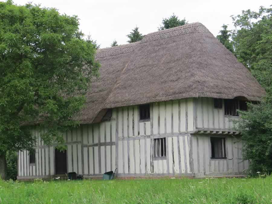
*Purton Green Farm (photo), one of the Landmark Trust properties, can be found by walking a few paces to the right along the second track.
Roger Medley
Originally walked in February 2010
Walked again in May 2017
If these notes are confusing or inaccurate or the information is wrong, please let me know. If they are helpful, or if you have any other comments, likewise.
Roger Medley [text-blocks id=”50903″ slug=”roger-medley-tel-no”]
Coming Soon to a Fingerpost near you
Suffolk County Council has received funding for a county wide initiative to encourage more people to explore the local area. A field officer has been appointed and volunteers have been recruited to attach plaques to fingerposts in individual parishes. Each plaque (see diagram) displays an app. which can be downloaded to modern Apple and android phones. This will display the local section of the Ordnance Survey map showing footpaths and recognised walking, cycling and riding trails. The information can be stored if walkers are visiting an area where there is limited phone cover. Plaques have been added to 44 stable fingerposts in Wickhambrook and where fingerposts are missing or unstable these have been reported. There are 18 of these and they will be replaced complete with plaques. Wickhambrook is one of the first parishes in the County to complete this task.
W.I.Walking Group
The Wickhambrook W.I. Walking Group meets every Wednesday morning at 10am starting from the MSC car park for walks in the village or slightly further afield. We walk for about two hours and cover about five miles, depending on how much chatting is taking place. There are usually six of us, although we have had a dozen occasionally, dogs are welcome too.
