This pleasant 4-mile circuit starts from Lidgate and makes use of hilltop footpaths to reach the hamlet of Upend. The return journey is mostly along a Quiet Lane. The newly opened permissive path around Lidgate Castle mound and the site of Lidgate Mere is included in these directions. Walking is good all year round.
This area is covered by Explorer Map 210 Newmarket and Haverhill.

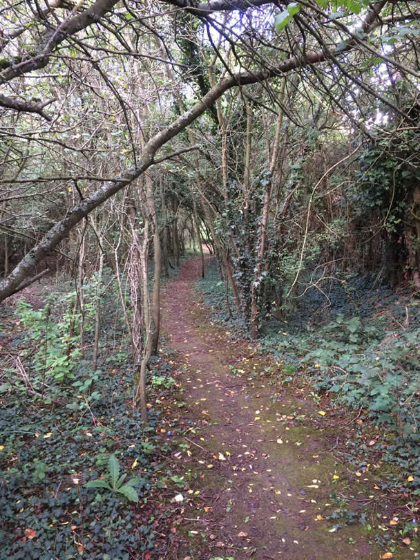
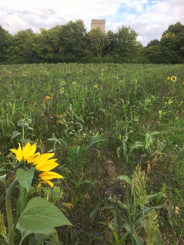
Parking is not easily found in Lidgate but there are several possibilities for a lone vehicle. These are the ‘Star’ pub if you are a customer (01638 500275, open most evenings from 5.00pm), or in front of church gates on the grass verge, or at the junction of Church lane and the main road beside the village pond. These walk directions start from the church. With your back to the church gates turn right. There is a ‘Footpath’ fingerpost. Follow the track for a short distance passing a ‘Permissive Footpath’ sign. Soon after this veer right downhill on a sunken path. The fingerpost, which has a blue ‘circular walk’ waymark, is a bit removed from the track. The sunken path drops down to the road. Ignore the waymark pointing right just before the footbridge. At the road, turn right, cross the bridge, pass a minor road on the left, and take the footpath pointing left up the hill. You start with hedges on both sides but soon lose these and the fields either side become more obvious. At the top there is a seat upon which you can admire superb views across the valley. Cross the culvert and turn left to follow the curving field edge path. At the finger post turn left and stay with the hedge on the right. Follow this into the next field and then through a gate into a paddock area. Continue ahead still with the hedge on the right. Another gate takes you back into arable land. Head for a wood and stay on the left of that into another field. The cottages of Upend come into view. Follow the track through old farm buildings to reach the road. Here you must turn left but before doing so, if you turn right and right again at the junction you will find a memorial seat on the left, if needed. Return to where you met the road and follow this (seems to be designated as a Quiet Lane at the Lidgate end) along the valley. The tower of Lidgate church will eventually come into view on a hilltop facing you. Some while after you will find a concrete drive leading to a waste water treatment works on the right. Take this, cross the bridge, and continue ahead to the right of the hedge. There is no fingerpost but there is a waymark on the first corner. At the field end drop down left and use the stile immediately on the right. Cross this meadow staying with the hedge on the right. Go through a gate and find another new stile on the roadside. Cross the road (diagonally left) to enter a tunnel of vegetation (ignoring the message on the Permissive Path fingerpost which points in the opposite direction). Cross a footbridge to find the interpretation board for Lidgate Mere. Continue ahead through a small gate and then another. Drop down to a track and turn right to return to the church. On the way you will find a green headland on your left. Take this to find the ‘Lidgate Castle through history’ interpretation board. Continue in the same direction to complete a circuit of the outcrop and return to the church through farm buildings.
Roger Medley
14.12.2022
This series of walks have been put together by Roger Medley.
If any of the walking notes are confusing or inaccurate or the information is wrong, please contact Roger on 01440 820551. If they are helpful, or if you have any other comments, likewise.
Coming Soon to a Fingerpost near you
Suffolk County Council has received funding for a county wide initiative to encourage more people to explore the local area. A field officer has been appointed and volunteers have been recruited to attach plaques to fingerposts in individual parishes. Each plaque (see diagram) displays an app. which can be downloaded to modern Apple and android phones. This will display the local section of the Ordnance Survey map showing footpaths and recognised walking, cycling and riding trails. The information can be stored if walkers are visiting an area where there is limited phone cover. Plaques have been added to 44 stable fingerposts in Wickhambrook and where fingerposts are missing or unstable these have been reported. There are 18 of these and they will be replaced complete with plaques. Wickhambrook is one of the first parishes in the County to complete this task.
W.I.Walking Group
The Wickhambrook W.I. Walking Group meets every Wednesday morning at 10am starting from the MSC car park for walks in the village or slightly further afield. We walk for about two hours and cover about five miles, depending on how much chatting is taking place. There are usually six of us, although we have had a dozen occasionally, dogs are welcome too.
