If you fancy a change from circular routes why not use public transport to visit a neighbouring village and walk back home. This is one possibility. The route includes a short section along a potentially busy road and a hi-vis jacket is a wise precaution.
Catch the 10.43 bus to Bury St Edmunds from Thorns Corner, alight at the Greyhound at Chevington some 15 minutes later. There are other times such as 14.56 but as the walk is just over 5 miles and will take between 2 and 3 hours it is best not to leave your departure too late. To confirm times and check alternatives phone Traveline on 08712002233. Take Ordnance Survey Explorer map 210 Newmarket & Haverhill as your ever-faithful companion.
If you wish to explore Chevington, or if you have brought coffee and need a seat, Chevington church is worth a visit. To reach All Saints church walk past the Greyhound, cross the crossroads and take the next turning right. This church, which is a short distance on the left, is supposed to have one of the most attractive interiors of all Suffolk churches being painted white throughout. The tower is unusual in that Frederick William Hervey, 5th Earl of Bristol and 1st Marquis, decided that with a small addition it would be an object worth viewing from Ickworth House. He authorised the building of an extension with lancets, battlements and pinnacles, but open to the sky. The cost in 1817 was £120 (probably about £4,500 now).
If not, walk past the Greyhound (01284 850765 Open Tuesday to Sunday from noon until 2.00pm) and turn left at the junction. Soon after passing Chevington Garage take the footpath on the left. Depending on the time of year the fingerpost may be partially hidden. If you reach Grange Mill (street name) on the right you have gone too far. Cross a footbridge. This path wanders alongside a smallholding, crosses a drive and then heads into open country. After walking between fields enter a second field, down and up a dip, and stay with left hand hedge. Enter a small wooded area, still going ahead. Other footpath/s come in from the right.
Stay with the left-hand hedge. The path curves left and leads you on to a drive. Turn right and walk through a gate and between houses to reach a T-junction. Here you turn right. This quiet country road leads nowhere in particular so you should not be disturbed by passing traffic. Continue gently downhill passing a seat (a more convenient coffee stop?) until you run out of metalled surface. At the bottom of the dip Ignore the track to the left and continue ahead passing through a gap to the right of a five-bar gate. You now have a hedge on your left and pastureland to the right. Stay with the hedge until reaching some collapsing farm buildings and, soon after, a-five bar gate. Enter this field. The waymark points left and you must walk the length of this long skinny meadow. There may be a faint path through the grass. Head for another 5-bar gate in the distance. This is to the left of a building that can be more easily seen. Go through this gate and join the quiet road to reach Little Knowles Green. You have now completed 3 kilometres.
The next stretch is along the Wickhambrook to Bury road and can be quite busy but there are verges both sides and the traffic can be seen (and see you) from some distance away. A hazard jacket is a wise investment; drivers invariably slow down. Turn left (towards Wickhambrook) and walk as far as the first turning right (Ousden 2 miles is shown on the signpost) and head towards Baxters Green. This is a much quieter road and you can relax and walk at gentle pace. Ignore the first footpath on the left, which runs down the east side of Easter Wood, and continue past Easterwood Farm and an attractive pond. Take the next footpath on the left making use of a newly installed footbridge. Stick with the right-hand hedge. In the corner go through a gap and continue in the same direction. A second gap is partially hidden in the corner of the next field but most waymarks are in place to give reassurance. Go through that gap. Turn right and stay with the hedge on the right as it twists and turns and leads you into a short straight section of path with a hedge on the left and a plantation on the right. When the hedge stops turn left and follow the field edge to a farm road.
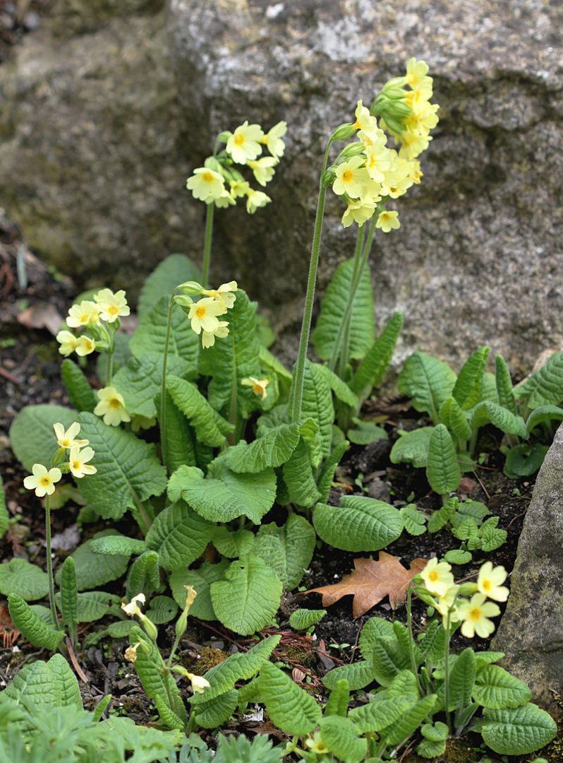
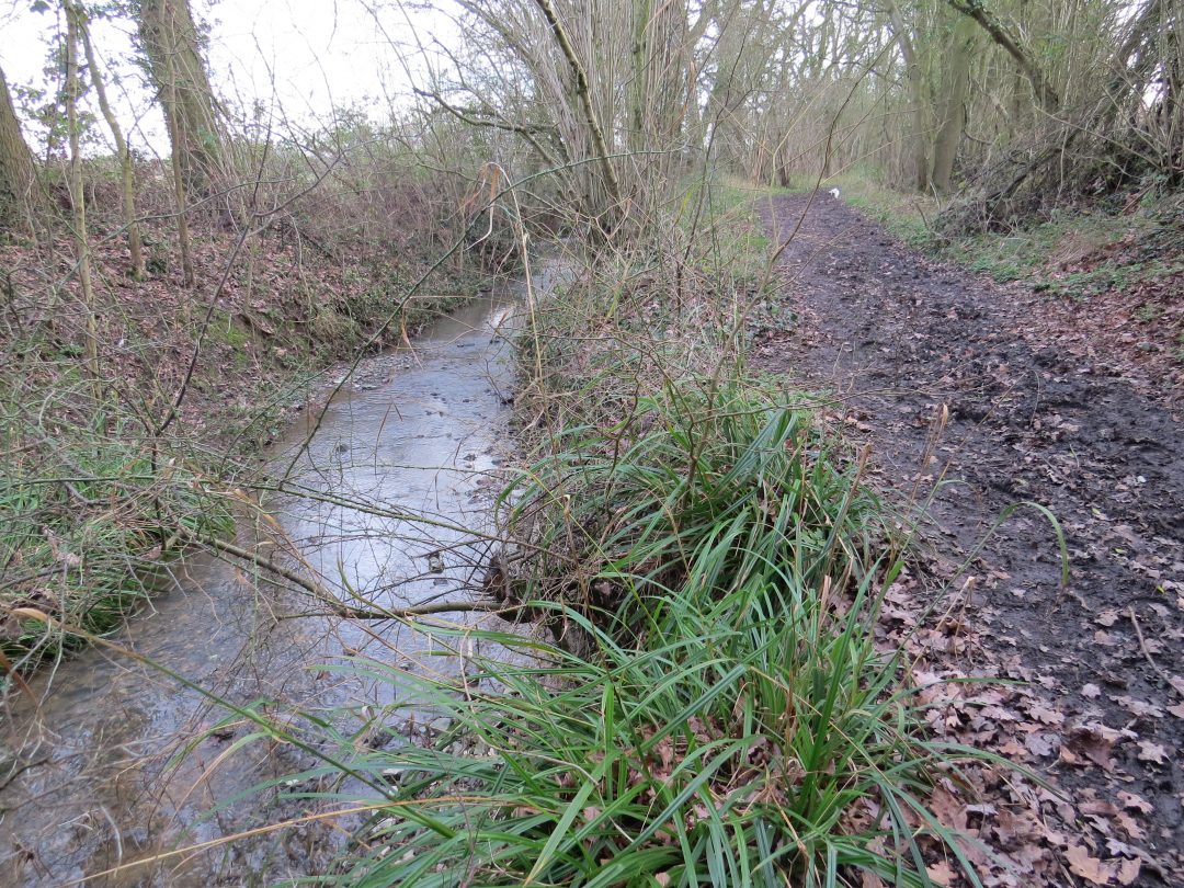
Turn left and continue to Busses Farm (there is a very small nameplate and a horse made of horseshoes) where the right of way veers right, just past a couple of tyres, to avoid the farm itself. At a bridleway junction by a pond ignore the option to the right and continue ahead to enter a sheltered green lane. *(SEE NOTE BELOW) This is byway 31 and you should follow this, ignoring several other possibilities on both right and left, all the way to Coltsfoot Green. The long ribbon of woodland accompanies a stream for some way and that stretch offers a profusion of flowers in March/April time. The most impressive are the oxlips but you may also find primroses, milkmaid, stitchwort and violets.

At Coltsfoot Green, where there is another seat, turn right along the road for a short distance and then take the footpath opposite which returns to the recreation ground. Veer right to find the car park. (* PLEASE NOTE that Byway 31 is one of the few bridleways in the parish and is regularly used by horses. If you are following these directions in the wetter time of the year it is best to avoid the southern section by crossing the second footbridge on the left. You will soon emerge from the trees then you accompany the brook on your left into a small field, a larger field then a second smaller field to be faced by a stile. Climb this and cross a sheep paddock to a second stile. This leads you onto the road where you turn right and quickly reach Coltsfoot Green.)
Originally walked 30.05.2011
Updated July 2020
If these notes are confusing or inaccurate or the information is wrong, please let me know. If they are helpful, or if you have any other comments, likewise.
Roger Medley [text-blocks id=”50903″ slug=”roger-medley-tel-no”]
Coming Soon to a Fingerpost near you
Suffolk County Council has received funding for a county wide initiative to encourage more people to explore the local area. A field officer has been appointed and volunteers have been recruited to attach plaques to fingerposts in individual parishes. Each plaque (see diagram) displays an app. which can be downloaded to modern Apple and android phones. This will display the local section of the Ordnance Survey map showing footpaths and recognised walking, cycling and riding trails. The information can be stored if walkers are visiting an area where there is limited phone cover. Plaques have been added to 44 stable fingerposts in Wickhambrook and where fingerposts are missing or unstable these have been reported. There are 18 of these and they will be replaced complete with plaques. Wickhambrook is one of the first parishes in the County to complete this task.
W.I.Walking Group
The Wickhambrook W.I. Walking Group meets every Wednesday morning at 10am starting from the MSC car park for walks in the village or slightly further afield. We walk for about two hours and cover about five miles, depending on how much chatting is taking place. There are usually six of us, although we have had a dozen occasionally, dogs are welcome too.
