It is intended that this route will be the second of the chosen circuits to be described in the Wickhambrook version of the Discover Suffolk leaflet.
WALKING TO THE SOUTH
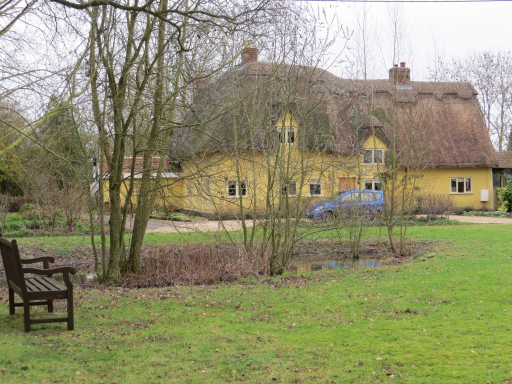
From the Car Park at the village hall turn right and take the footpath that runs between the cemetery and the W.I Hall. Step across a ditch and continue in the same direction with the ditch on the right. At the footpath junction turn left and follow the edge of the field to the road. Turn right and after passing the entrance to Coltsfoot Close take the footpath on the right (in front of a large willow tree). This track runs straight ahead (more or less), swapping sides of the hedge (do not take the left fork here) skirting the Waste Water Treatment Works, and continuing until you reach Cloak Lane. Here you turn right. Cloak House on the left used to be the Cloak Public House until it closed in 1989. It was the only pub in the country with this name and it is supposed to be haunted by ‘a little old lady in white.’ At the junction cross the main road and climb the stile beside the 5 bar gate and follow the footpath as indicated by the fingerpost. Halfway across the paddock turn around and take a look at Commerce House – the large pale pink building. This is the tallest thatched house in Suffolk and used to be a coffee house and grocery shop. Having negotiated the second stile follow the path beside the brook on the left until you reach the road. Please be aware that the official right of way crosses the last paddock on the right but the landowner has given temporary permission for continued use of this ‘villagers path’. Continue ahead crossing the grass triangle to reach the pond and seat at Attleton Green. Attleton Green is one of the ten greens of Wickhambrook but only four now have green areas attached.

After 70 paces find a fingerpost pointing left. Cross the footbridge and follow this path through a wooded ribbon into a field with a hedge on the left. Cross a collapsing culvert and you now have the hedge on your right and paddocks on your left. Continue until you can turn left at the end of the post and rail fencing (another footpath junction) and this short stretch will bring you to the road. Turn left (there are good views looking back to the village) then right at the T junction. Shortly, as the road bends 90 degrees left, go straight ahead into an enclosed footpath.

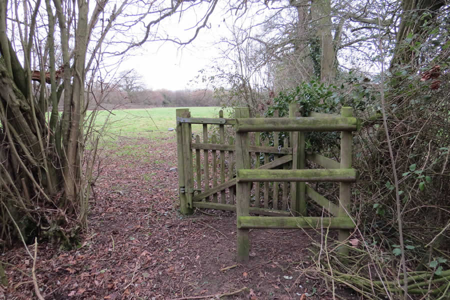
A gate opens into a small field where you continue to follow the hedge on the right. At the field corner climb an unusual stile and turn left, still with the hedge on the right. Duck under a drunken tree and follow the way marks into the next two fields. These are fields as fields used to be. The hedge continues on your right. Enter a copse and follow a narrow winding path, more or less, straight ahead. Cross a footbridge and reach the road.
Cross this and climb the bank opposite. Turn right. This is not an official right of way but the landowner has given temporary permission for another ‘villagers path’ but please be aware that this is regularly cultivated land. Walk along the field edge until you reach the footpath sign on the left. Take the broad, green track which curves round to the left, keeping the ditch on the left. At a collection of way marks, three in quick succession, turn right uphill accompanying a row of trees on the left. The building on the left at the top of the hill was the village bake house until 1996 when Ron Penhaligan, the baker, and his wife Edna, the deliverer, retired. Turn right and take the track until the first hedge on the left (and way mark). Follow this downhill, appreciating the views of the church, and round to the left. This will bring you to Wash Lane just above the ford. Turn left and follow this one-way street uphill to the main road. The building opposite, Bank House, was once the village bank run by Lloyds. Turn right and follow the pavement, crossing Cloak Lane, and continuing uphill until you reach the school. Wickhambrook was quite late in acquiring a school as no-one was prepared to give land but one was eventually opened in 1878. The cottage to the left of the school was on the donated site and as it had no foundations it was dragged by horses to its present location. In 1890 there were 150 pupils much the same as today. Refurbishments took place in 1960s and 1990s but the frontage is original. Turn right at the end of the playground (fingerpost) to reach the recreation ground. Head diagonally left after passing the tennis courts to return to the car park.
If these notes are confusing or inaccurate or the information is wrong, please let me or the editor know. If they are helpful, or if you have any other comments, likewise.
Roger Medley [text-blocks id=”50903″ slug=”roger-medley-tel-no”]
First published in April 2005
Re-walked February 2018
Coming Soon to a Fingerpost near you
Suffolk County Council has received funding for a county wide initiative to encourage more people to explore the local area. A field officer has been appointed and volunteers have been recruited to attach plaques to fingerposts in individual parishes. Each plaque (see diagram) displays an app. which can be downloaded to modern Apple and android phones. This will display the local section of the Ordnance Survey map showing footpaths and recognised walking, cycling and riding trails. The information can be stored if walkers are visiting an area where there is limited phone cover. Plaques have been added to 44 stable fingerposts in Wickhambrook and where fingerposts are missing or unstable these have been reported. There are 18 of these and they will be replaced complete with plaques. Wickhambrook is one of the first parishes in the County to complete this task.
W.I.Walking Group
The Wickhambrook W.I. Walking Group meets every Wednesday morning at 10am starting from the MSC car park for walks in the village or slightly further afield. We walk for about two hours and cover about five miles, depending on how much chatting is taking place. There are usually six of us, although we have had a dozen occasionally, dogs are welcome too.
