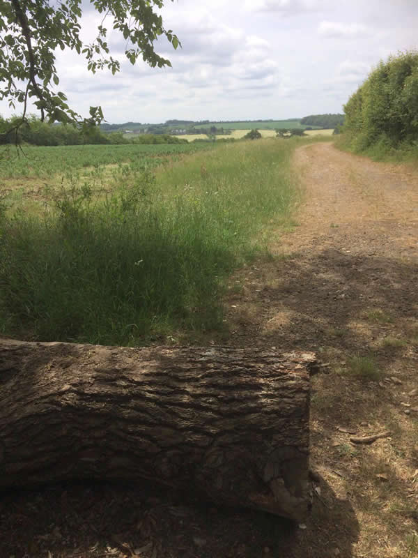
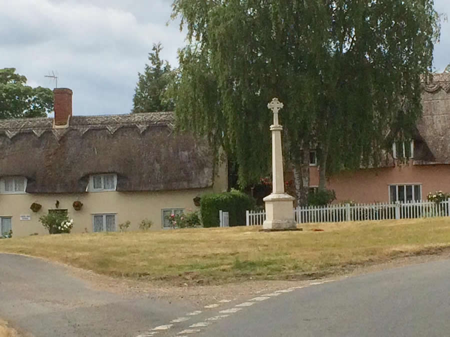
This circular walk heads east to Clopton Green, south to Denston and returns along the brook valley making use of field edge footpaths and quiet country roads. There are two steady climbs but the effort is rewarded by pleasing views of rolling Suffolk countryside. Most footpaths are regularly cut and the whole circuit is as shown on the local Ordnance Survey map – Explorer 210 Newmarket & Haverhill. Waymarks are not being replaced currently because of budget restrictions so it is advisable to take a map or some other mapping aid with you. The walk is approaching seven miles so you may wish to pack a picnic.
From the entrance to the car park at Wickhambrook village hall take the footpath on the right between the cemetery and the children’s play area. Cross the ditch and continue to the corner of the field then left to reach the road. Turn right and continue along the road, taking the necessary precautions, until you reach the 30 mph signs. Immediately after, on the left is a partially hidden stile. Push through the invasive briars and climb into a grazing meadow.
Take the path half left across a culvert and half right until you reach a second hidden stile. Climb this and enter a field now with a hedge on your right. Use a footbridge into another field and accompany the brook as far as a concrete bridge on the right. Cross this and turn right following the field edge into the corner then left up the hill and into a narrow ribbon of trees. At the road turn left then just after Hill Top Cottage, take the footpath on the right across a meadow. Cross a stile and head gently downhill. At the first footpath junction (as the ground levels out) find and cross a footbridge on the left. There is a waymark here. Stay with the hedge on the left and enter a second field. Soon after passing an electricity pole veer right, cross the field, go through the hedge and continue towards the hilltop houses. On reaching the A143, cross with care and head down Giffords Lane.
Follow this quiet country road passing both Clopton and Giffords Halls. It remains a mystery why two such high status mediaeval houses are built so close together. Between the two, on the left, is a holiday home called the Old Schoolhouse. This used to be a corrugated iron school built for the education of the sons of farmworkers by Justin Brooke, landowner and entrepreneur, who moved into the area in 1928. The farmworkers were brought down from the North, at the time of high unemployment, and provided with both housing and schooling.
After some distance the metalled road turns sharp right at a ‘Wickham House Bungalows’ sign and you now walk in front of a row of what used to be farmworkers cottages. Most have now been modernised. The road becomes a track and you should continue up and over the hill. Superb views of rolling Suffolk await you in both directions, ahead and behind.

Follow the track downhill and turn right just in front of a post and rail fence. Follow the headland to the left (waymark) and downhill. Turn right in front of the hedge coming in from the right and continue along the headland this time on the level. At the first gap in the hedge turn left and go downhill now with the hedge on the right. At the lower corner, just as you are convinced that there is to be no escape, a gap and footbridge appear on the right. Take these and turn left to the road. You are now on the edge of the attractive village of Denston standing next to Bridge Cottage. Cross the road and the bridge and continue up the hill to the church. There is a seat here where you can rest overlooking the village green.
In 1970 the church was in serious danger of partial collapse. The interior was described as being so green with mould that it looked to be covered with mediaeval wall paintings. The trouble stemmed from a misguided decision taken many years earlier to remove the lead from the roof – the idea being to thwart thieves by re-covering the roof with roofing felt. A major fundraising effort was undertaken, involving some well-known names such as Hammond Innes, Elizabeth Frink and the Duke of Grafton, and the entire roof was repaired. While the improvements were taking place pigeons moved in and made a dreadful mess inside the church. The vicar appealed for ‘a reasonably house-trained hawk’ but none appeared so he acquired a stuffed hawk which he stuck on the pulpit. St Nicholas church is now well worth a visit.
Take the footpath on the right at the far end of the churchyard. Go through the first kissing gate and then a second ahead. Turn right and then left, in front of a hedge, and drop to the valley bottom. Turn left and accompany the brook towards Wickham Street. Ignore two paths and footbridges on the right. In the far corner turn left (waymark). After a short distance you will find a post showing several waymarks and a ‘Footpath Creation’ sign. Turn right, now with a hedge on the left, cross a footbridge and veer right to follow the field edge to the road.
Take the road opposite and head towards Wickhambrook. The large red brick building on the right was the Plumbers Arms, a public house which closed in 2007. Pass the church, fork left down to the ford and up the one-way street. Turn right at the main road. Bank House, facing you, used to be a bank and opened on Fridays, to coincide with pay days, but only for a couple of hours.
Follow the pavement downhill, across Cloak Lane, and continue. Turn right beside the village school and turn left after passing the tennis courts. Cross the recreation ground and return to the car park.
Roger Medley
Last walked in May 2020
If these notes are confusing or inaccurate or the information is wrong, please let me know. If they are helpful, or if you have any other comments, likewise.
Roger Medley [text-blocks id=”50903″ slug=”roger-medley-tel-no”]
Coming Soon to a Fingerpost near you
Suffolk County Council has received funding for a county wide initiative to encourage more people to explore the local area. A field officer has been appointed and volunteers have been recruited to attach plaques to fingerposts in individual parishes. Each plaque (see diagram) displays an app. which can be downloaded to modern Apple and android phones. This will display the local section of the Ordnance Survey map showing footpaths and recognised walking, cycling and riding trails. The information can be stored if walkers are visiting an area where there is limited phone cover. Plaques have been added to 44 stable fingerposts in Wickhambrook and where fingerposts are missing or unstable these have been reported. There are 18 of these and they will be replaced complete with plaques. Wickhambrook is one of the first parishes in the County to complete this task.
W.I.Walking Group
The Wickhambrook W.I. Walking Group meets every Wednesday morning at 10am starting from the MSC car park for walks in the village or slightly further afield. We walk for about two hours and cover about five miles, depending on how much chatting is taking place. There are usually six of us, although we have had a dozen occasionally, dogs are welcome too.
