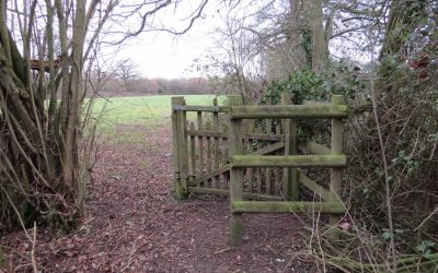
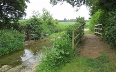
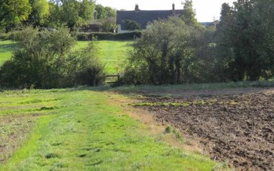
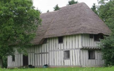
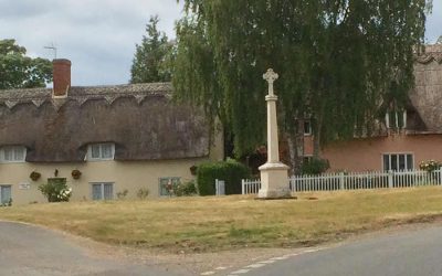
This walk around Wickhambrook was first published in April 2005 and was the first of, what eventually became, many circular walks in the village and surrounding area. At reasonable pace this one takes around 3 hours and covers about 5 miles…
walks
Wickhambrook Walk
This is the third of a series of local walks being prepared for the Discover Suffolk leaflet. The route sticks mainly to the village centre but includes some countryside stretches, which can be muddy in winter, and four short sections of road…
A Hundon Walk
This route which takes you from Hundon to Poslingford and back is just over five miles and if you wish for a picnic midway there are several seats in Poslingford churchyard. The walk is one of undulating contrasts with one particularly long cross-field path which should be clearly indicated, good views and several short sections of great interest. Enjoy…
Hawkedon Circular Walk
The Hawkedon website states ‘Hawkedon is one of the strangest places in Suffolk. There’s nowhere else quite like it. Here, in the rolling landscape between Haverhill and Bury, is where the Chiltern Hills come to die. On their journey through Bedfordshire and Essex they become lower and softer, with the occasional last stabs of glory before sinking beneath the Suffolk heathlands…
Depden Tower Walk
No circular walk this time but a bus journey to Depden water tower and then a wander back to Wickhambrook across the fields. The journey incorporates several stiles, a risky crossing of the A143, a downhill stroll beside five lakes and a skirting of the grounds of Denston Hall. Total distance is about 8 miles but it is all easy walking and can be covered comfortably in three hours…
Wickhambrook plus Clopton & Denston
This circular walk heads east to Clopton Green, south to Denston and returns along the brook valley making use of field edge footpaths and quiet country roads. There are two steady climbs but the effort is rewarded by pleasing views of rolling Suffolk countryside. Most footpaths are regularly cut and the whole circuit is as shown on the local Ordnance Survey map – Explorer 210 Newmarket & Haverhill. Waymarks are not being replaced currently because of budget restrictions so it is advisable to take a map or some other mapping aid with you. The walk is approaching seven miles so you may wish to pack a picnic…
