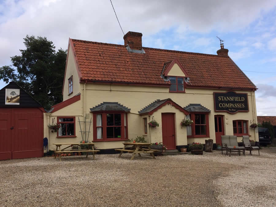
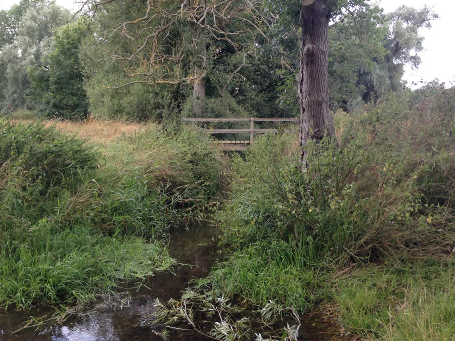
This circuit is around five miles and takes two and a half hours of steady walking. You join the Bury to Clare route for a short distance, pass the Stansfield Compasses pub (please see below*), cross the baby River Glem twice and pass through the small but attractive village of Assington Green. In the grounds of Stansfield Hall you may be lucky enough to spot Oxford Sandy and Black pigs, also known as Plum Pudding pigs because of their appearance or Oxford Forest pigs because of their origin. Much of the walking is on field edge paths, accessible any time of the year, but there is one short section which crosses two arable fields. If these have been recently cultivated they can be avoided by walking slightly further**. Take OS Explorer map 210 Newmarket & Haverhill for re-assurance.
Park at Stansfield Village Hall which can be found at the southern end of Lower Street. Leave the car park exit and turn left on the road which leads to Stansfield Hall. This soon becomes two concrete strips and it is here that you join the Bury to Clare walk. Continue up the hill until you reach buildings and several waymarks. Turn right immediately after the tennis courts and walk between post and rail fences and a short section of trees. At the track junction obey the waymark and continue ahead with a hedge on your right. Go into the trees for a short while then out again and follow the field edge with the hedge on your right. Reach a road. One hundred paces to the right is the *Stansfield Compasses (01284 789263 or www.stansfieldcompasses.co.uk) which at the time of writing is under new management and opening hours have yet to be decided. If the pub is not an attraction turn left and follow this road until you reach the first fingerpost on the right, opposite the White House. Leave the Bury/Clare walk and cross a field heading for the lower edge of a small wood, go through a gap in a hedge and continue across a second field in much the same direction heading for a corner in the far hedge. For most of the year both these paths are clearly marked. Having reached the hedge corner walk forward with the hedge now on the left. Reach the road and turn right.

**(If these fields have just been cultivated continue along the road until reaching another footpath sign pointing right. At the time of writing this sign is disguised as a hedge and the footbridge is impassable. Instead go through the field entrance beside BT pole 014 then five paces to the right then left to accompany the hedge which is now on your left. This footpath stays with the headland crossing a footbridge into a second field and onwards until reaching the road where you turn right.)
Walk into the attractive village of Assington Green and turn right at the road junction. Take the first footpath sign on the left. This leads across a cleared area to find a headland track with a hedge on the right. Follow this for some distance gently downhill to the valley bottom. The vehicle track swings to the right but you must continue ahead (waymark) through a small wood. In summer this path may be somewhat overgrown but it is only a short distance. Go through a gate, enter a meadow, and veer slightly right to find a footbridge crossing the baby River Glem. Continue veering right to find a gate in a corner (hidden behind a large Willow tree). Go through this, ignore a possible turning left and continue ahead through trees along the valley bottom. On reaching a road turn left and climb uphill for 100 paces to find a fingerpost, on the opposite side, pointing right. Enter a field and then another and a third, with a dogleg left and right, keeping a hedge on your left at all times. At the far side of this field you will meet a track and hedge where you turn right and head downhill. At the lower corner leave the track and drop down a bank to a footbridge. Cross the Glem for the second time and climb up to the road. Turn left. At the road junction continue right towards Glemsford until you find a fingerpost on the right. Take this path, at first through a ribbon of woodland, then across a short open section to reach a hedge which you must keep on your left. Where this hedge ends at a field entrance turn right now with another hedge on your left. Follow this round to re-reach the road to Stansfield Hall. Turn right to return to the Village Hall.
Roger Medley
Walked 15 August 2019
[text-blocks id=”50903″ slug=”roger-medley-tel-no”]
Coming Soon to a Fingerpost near you
Suffolk County Council has received funding for a county wide initiative to encourage more people to explore the local area. A field officer has been appointed and volunteers have been recruited to attach plaques to fingerposts in individual parishes. Each plaque (see diagram) displays an app. which can be downloaded to modern Apple and android phones. This will display the local section of the Ordnance Survey map showing footpaths and recognised walking, cycling and riding trails. The information can be stored if walkers are visiting an area where there is limited phone cover. Plaques have been added to 44 stable fingerposts in Wickhambrook and where fingerposts are missing or unstable these have been reported. There are 18 of these and they will be replaced complete with plaques. Wickhambrook is one of the first parishes in the County to complete this task.
W.I.Walking Group
The Wickhambrook W.I. Walking Group meets every Wednesday morning at 10am starting from the MSC car park for walks in the village or slightly further afield. We walk for about two hours and cover about five miles, depending on how much chatting is taking place. There are usually six of us, although we have had a dozen occasionally, dogs are welcome too.
