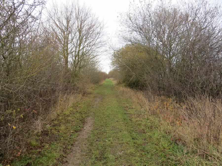
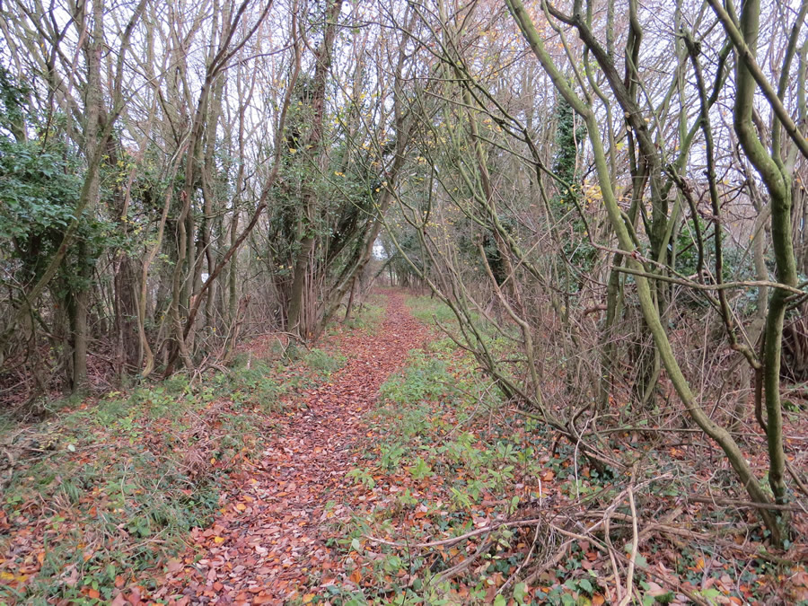
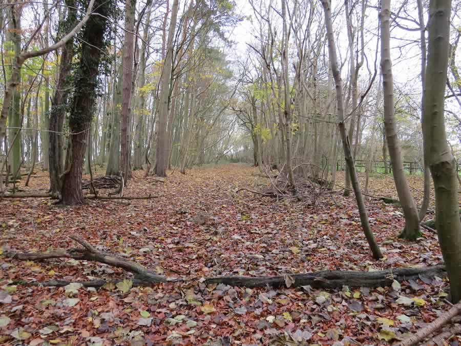
This circular walk heads north of the village and makes use of the green lanes in that area. Total mileage is between 6 miles and 7 miles and will take around three hours at gentle pace. The circuit is best undertaken in the drier months. It is also enjoyable in the winter, just a bit more of a challenge. For reassurance take Explorer map 210 Newmarket & Haverhill with you.
Leave the entrance to the Memorial Social Centre car park, turn right and take the footpath that runs between the cemetery and the W.I Hall. Cross the footbridge in the corner and continue with the ditch and bank on your right. Turn left at the corner and follow the edge of the field on the left. This will bring you to the road where you turn right. Ignore turnings to the left and right until you have crossed the little bridge and reached the de-restriction signs at the foot of the hill. Spot a stile on the left. Climb this and head half left crossing a culvert and then veering right. Sometimes the grass is quite long and sometimes you have the company of sheep. Cross a second stile and continue in the same direction walking along a headland with a hidden stream on your right. Go through a hedge and stay with the steam, now more obvious, until you reach a concrete bridge. Turn left and almost immediately right along a farm track which skirts a small wood.(N.B. The official right of way goes through the crop in two places but the headland alternative seems more acceptable to both the landowner and walkers) Turn left on re-joining the stream and follow the waymarks to the wood. There are fallen trees here which provide convenient seating for a coffee break. Soon after entering the shade, cross a wooden bridge and then a second one and on meeting a wider track turn right. Follow this green lane along the middle of a long ribbon of trees with the stream on your right. Ignore turnings on the left and right. On emerging at the end (there is a slight incline and a pond can be seen on the right), ignore the left turn and continue ahead. The track leads around Busses Farm. Join a metalled road and continue in the same direction (heading north). To check that you are in the right place, you will almost immediately pass an obvious pond on the left. Ignore the bridleway sign on the right. This road joins a mainer road, still very quiet, and you should continue in the same direction, passing a turning to Baxter’s Green and a signpost which shows Wickhambrook 2 miles back the way you have come. On reaching a gentle bend in the road and Queens Cottage on the left (this used to be a pub and was purchased by Greene King in 1897 for £375) take the green lane on the left. This could give the impression of being a private drive were it not for the Byway sign. This green lane continues for some way. Ignore a wooden bridge on the left. This track offers pleasant but sheltered walking, eventually opening out at another track where you have to turn left or right. Turn left. A right turn leads to Ousden. Cross the road (left and immediately right) and continue along this green lane.

Any breaks in the trees and hedge on the right will give good views across the valley to Stetchworth and Dullingham. At the T-junction turn left (right leads to Lidgate) and head towards the British Telecom masts. Soon after passing the entrance to the B.T. compound find a hidden tunnel footpath on the right.

If after 20 paces you still have not spotted it then turn round as the sign is more easily seen from this direction. This path soon brings you to a large field on the right visible through the hedge and after another 40 paces turn left into Spring Wood. There is no waymark at this point but it is the only track available. The path heads straight through the shade to give further pleasant walking.

Step over several fallen trees as you head towards the remains of a wooden fence. Pass through and continue in the same direction but not for long. Where the hedge on the left ends you will find a waymark pointing left. Take this direction keeping to the hedge on the right. In the next corner you will find a path which skirts a little wood. On reaching the road turn right. After a short distance the road bends right and you must leave the road and continue ahead to pass to the right of a metal 5 bar gate. (If you reach the white railings you have walked too far). Stay with the hedge on the left until it turns sharply left uphill. You continue ahead using a clearly marked path through a growing crop. This will lead to the familiar track in the trees where you turn right. Follow this Byway ignoring all other options until to reach civilisation at Coltsfoot Green. You may wish to use the bench. At the road turn right and almost immediately left to find you way back to the playing field and car park.
First written up in 2006. Updated 27th November 2017
If these notes are confusing or inaccurate or the information is wrong, please let me know. If they are helpful, or if you have any other comments, likewise.
Roger Medley [text-blocks id=”50903″ slug=”roger-medley-tel-no”]
Coming Soon to a Fingerpost near you
Suffolk County Council has received funding for a county wide initiative to encourage more people to explore the local area. A field officer has been appointed and volunteers have been recruited to attach plaques to fingerposts in individual parishes. Each plaque (see diagram) displays an app. which can be downloaded to modern Apple and android phones. This will display the local section of the Ordnance Survey map showing footpaths and recognised walking, cycling and riding trails. The information can be stored if walkers are visiting an area where there is limited phone cover. Plaques have been added to 44 stable fingerposts in Wickhambrook and where fingerposts are missing or unstable these have been reported. There are 18 of these and they will be replaced complete with plaques. Wickhambrook is one of the first parishes in the County to complete this task.
W.I.Walking Group
The Wickhambrook W.I. Walking Group meets every Wednesday morning at 10am starting from the MSC car park for walks in the village or slightly further afield. We walk for about two hours and cover about five miles, depending on how much chatting is taking place. There are usually six of us, although we have had a dozen occasionally, dogs are welcome too.
